
Mission readiness
See GPS, cache, sync and battery readiness together.
 MILWATCH PRO
FIELD NAVIGATION SYSTEM
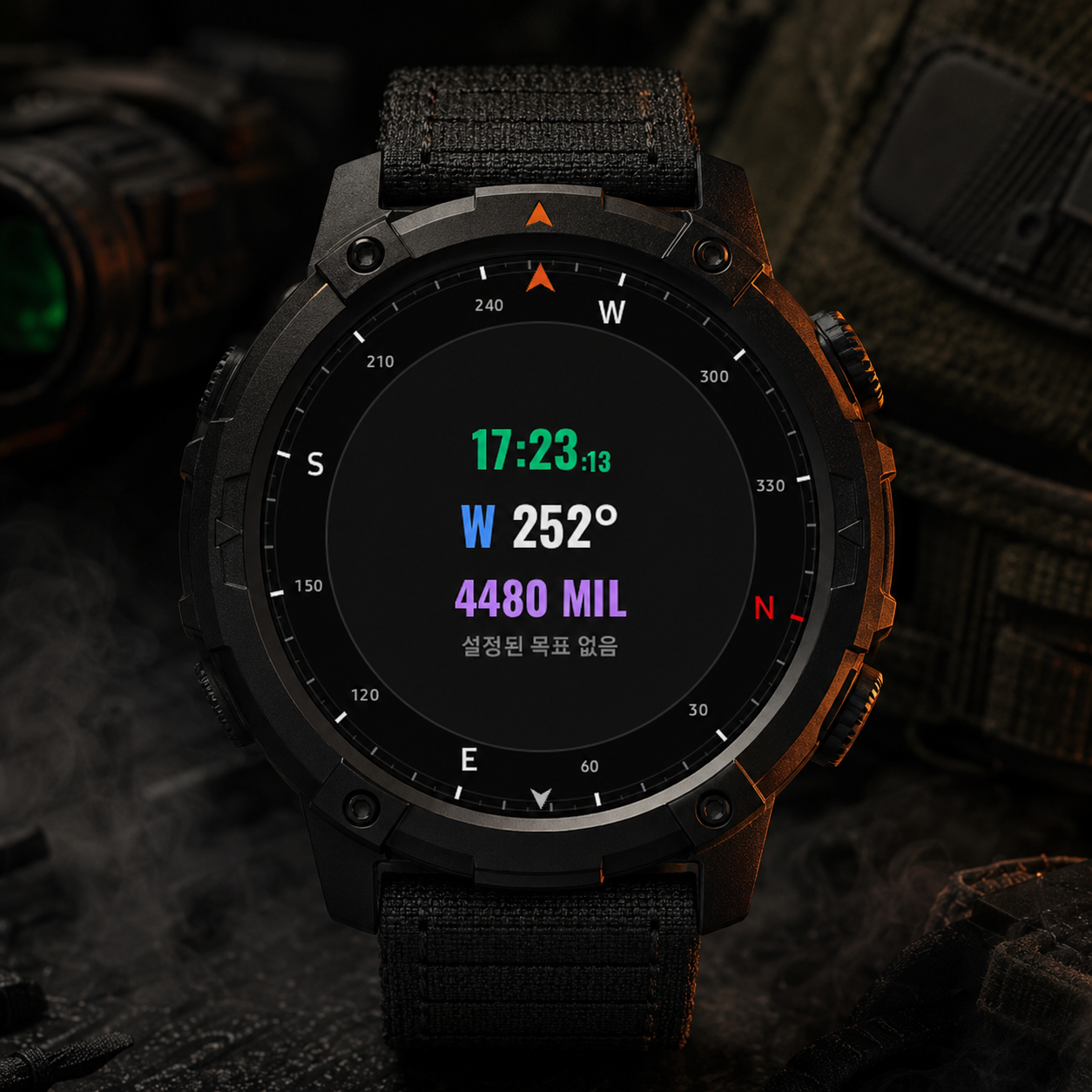
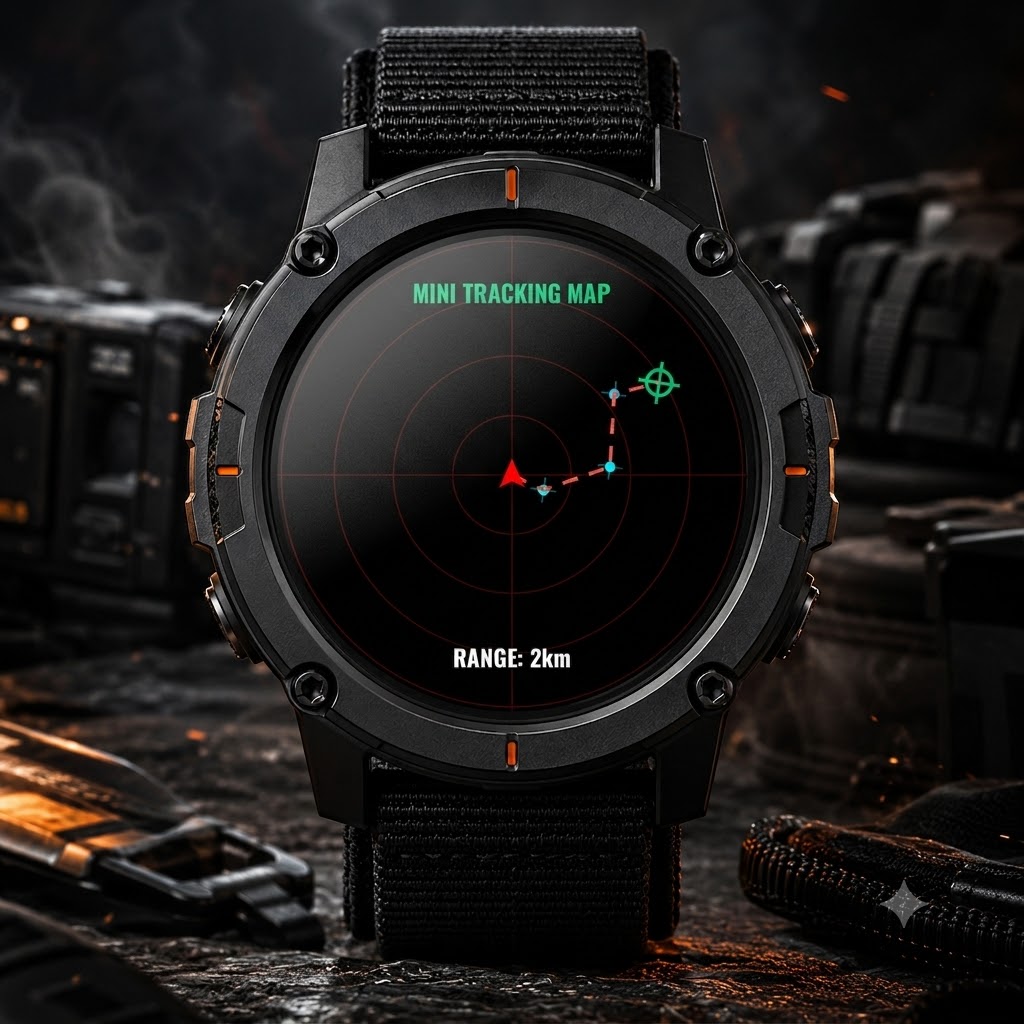
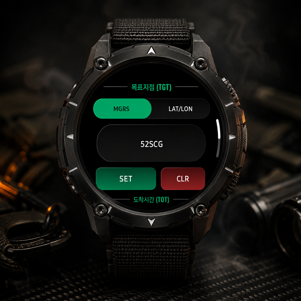
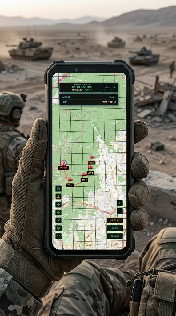
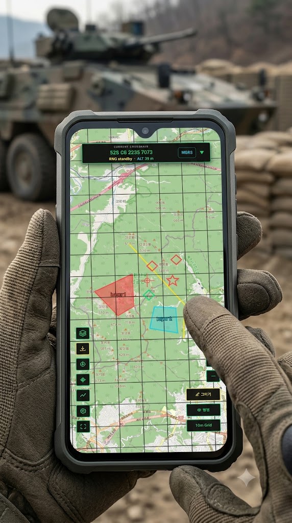
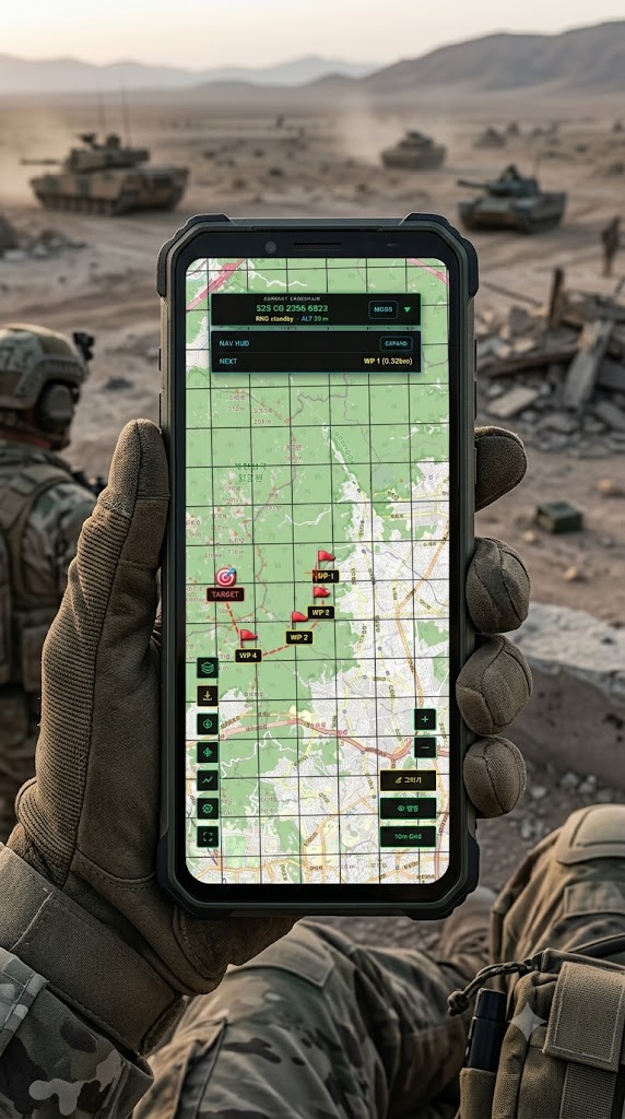
Wide coordinate support including MGRS, route planning to your target, travel-path tracking, on-map information overlays and many more features!
PHONE ↔ WEAR OS
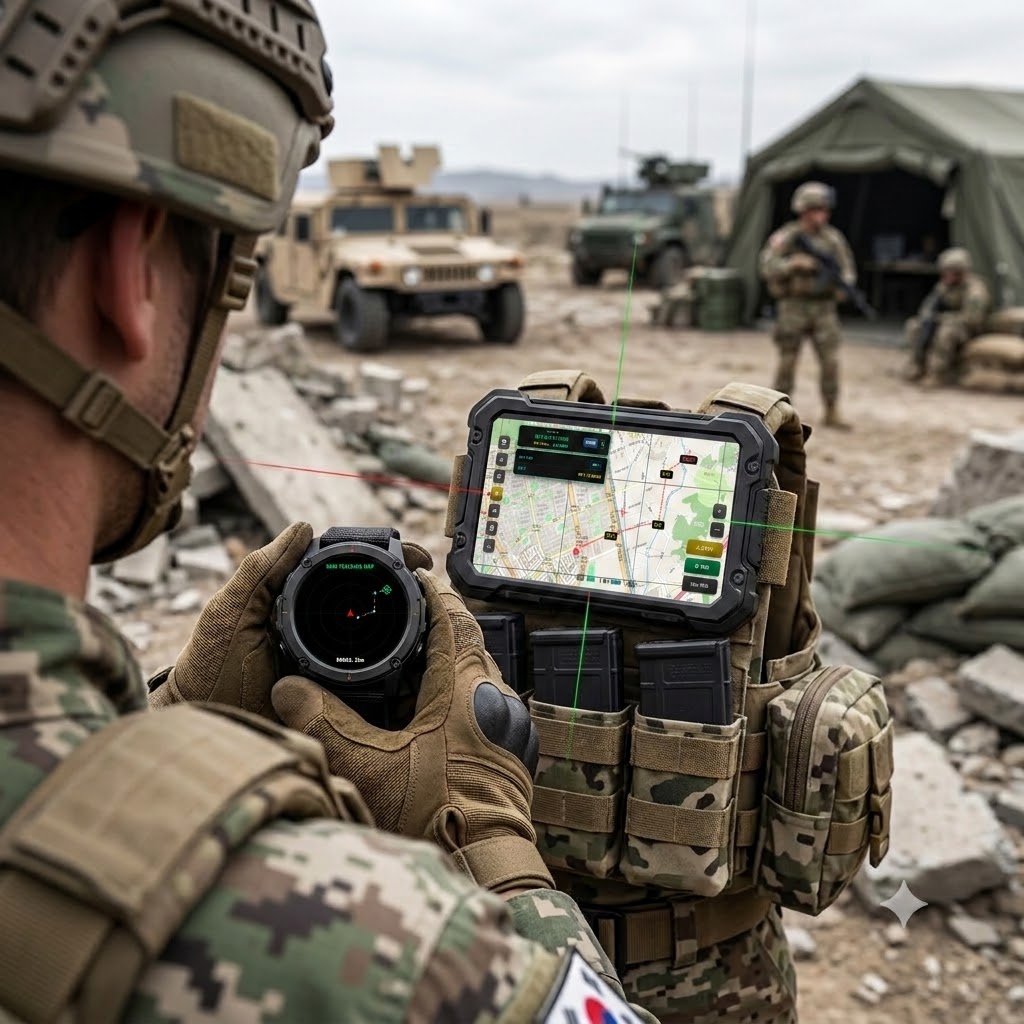
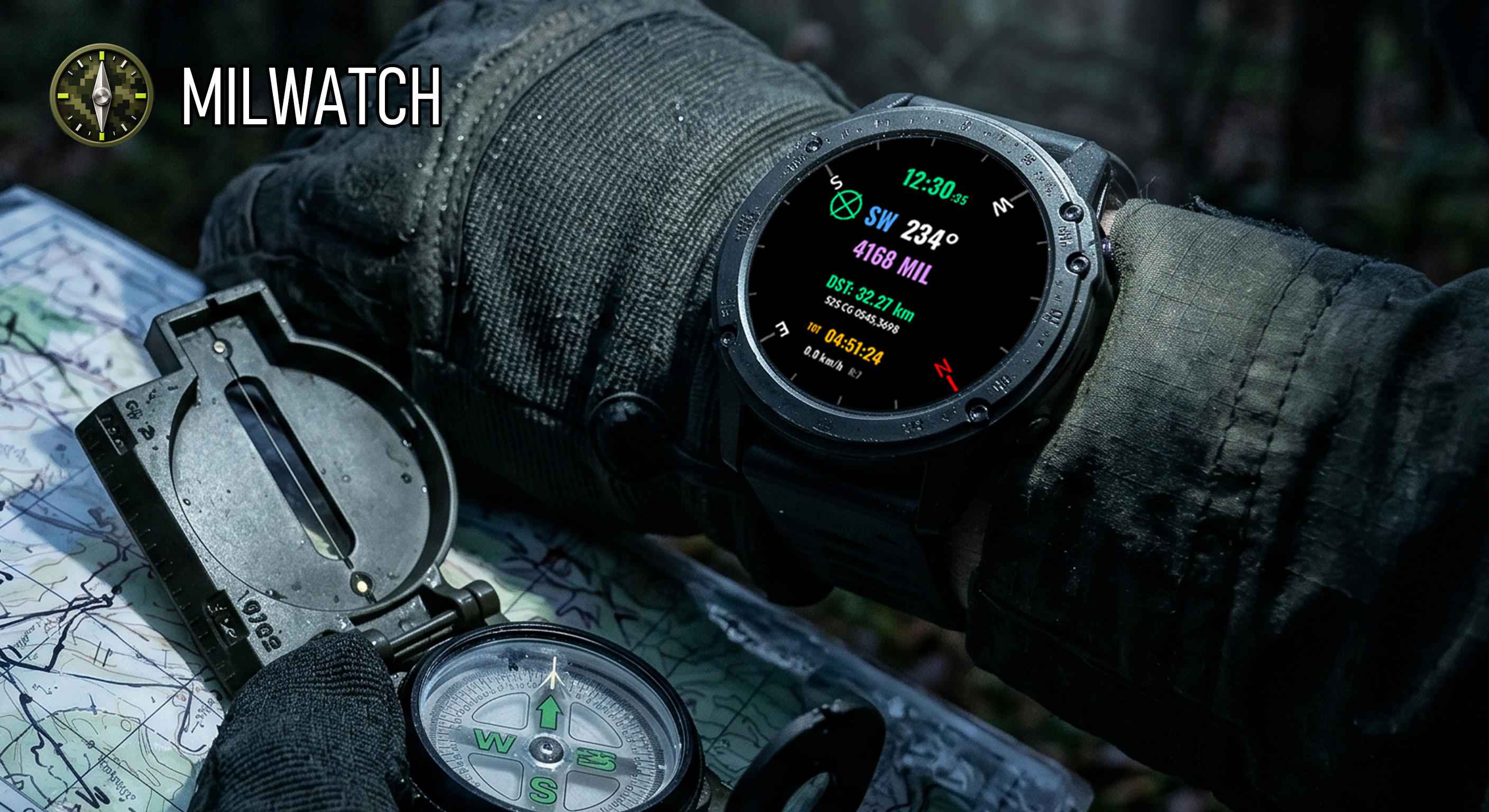
Send targets and return points from your phone to your watch, then see the watch position on the map. Both apps share one mission picture.
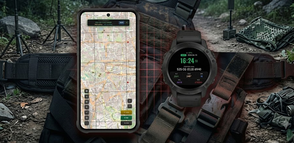
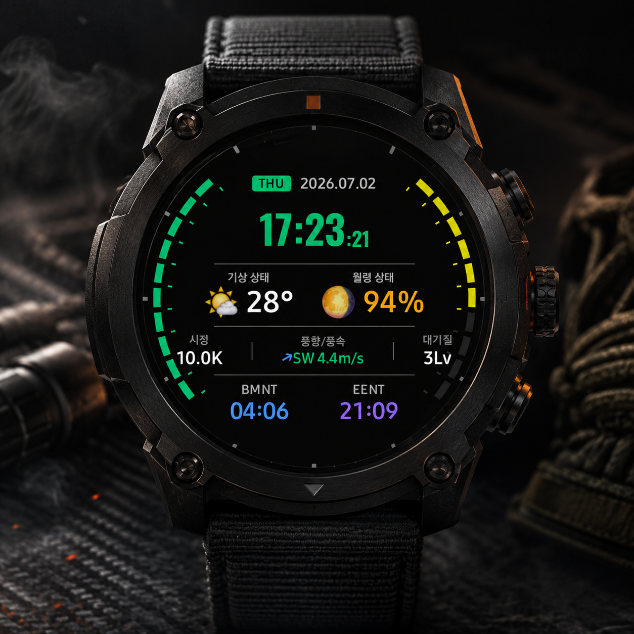
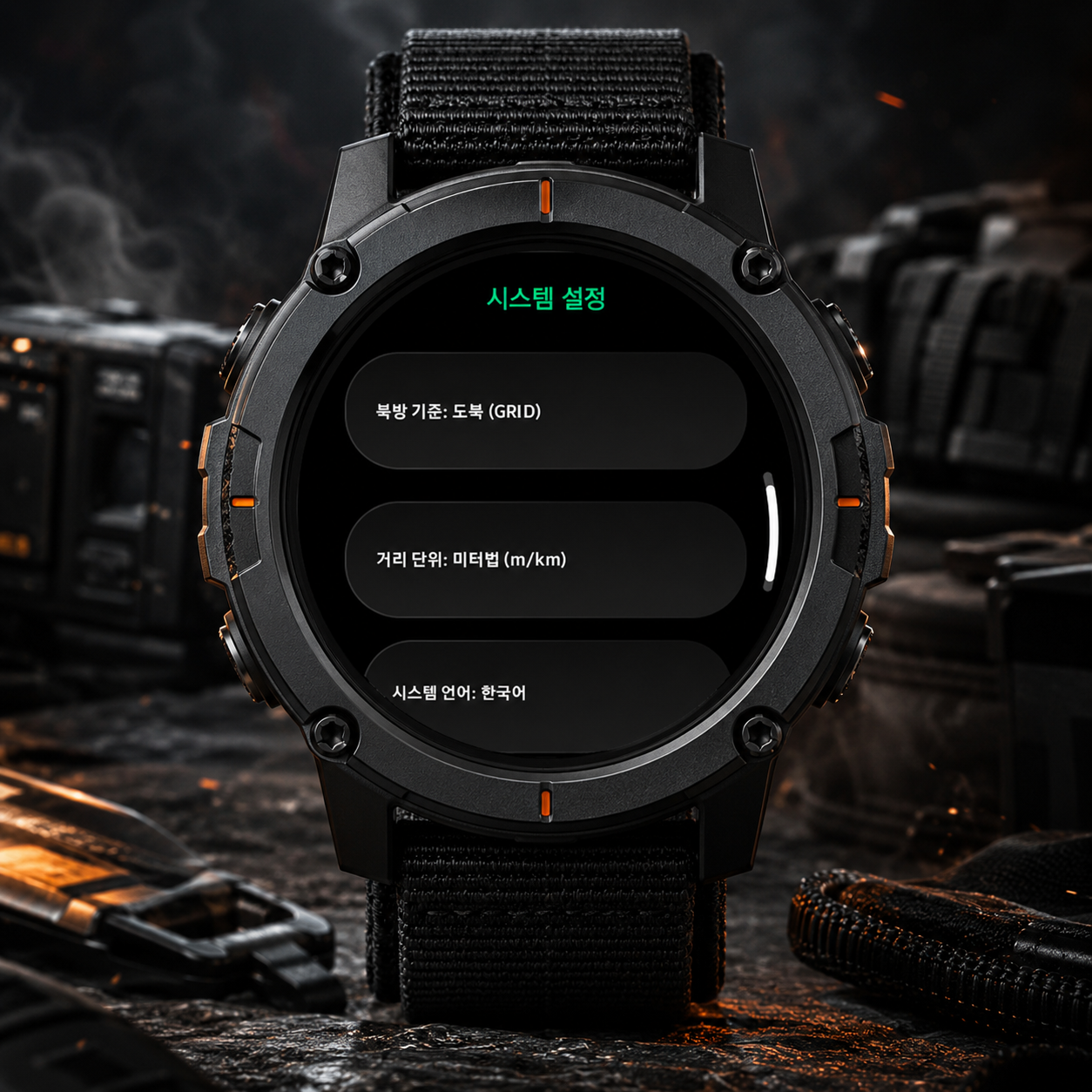
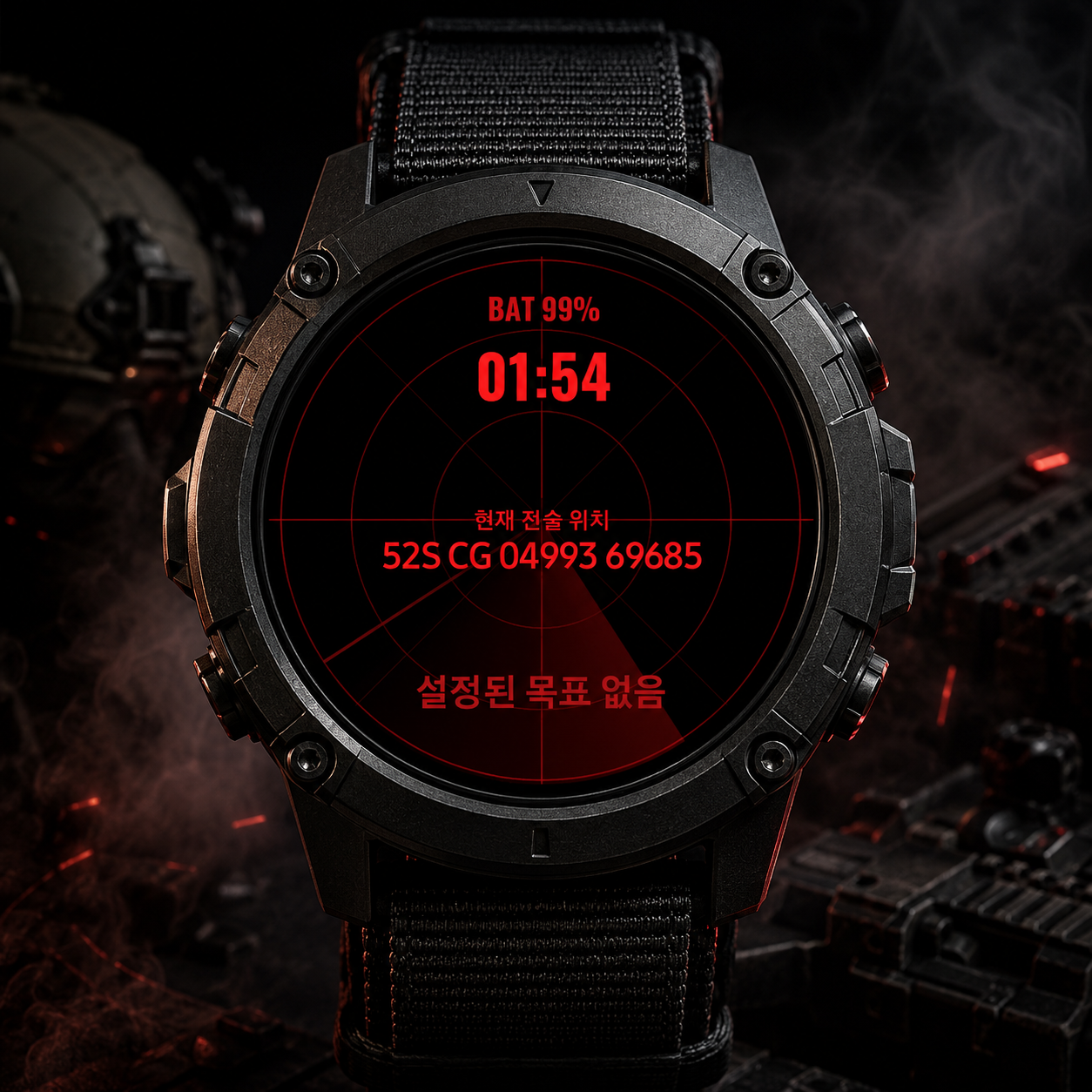
//MilWatch Wear OS// Instead of staged shots, we show each feature with real, up-to-date app screens and field images.
MILWATCH PRO
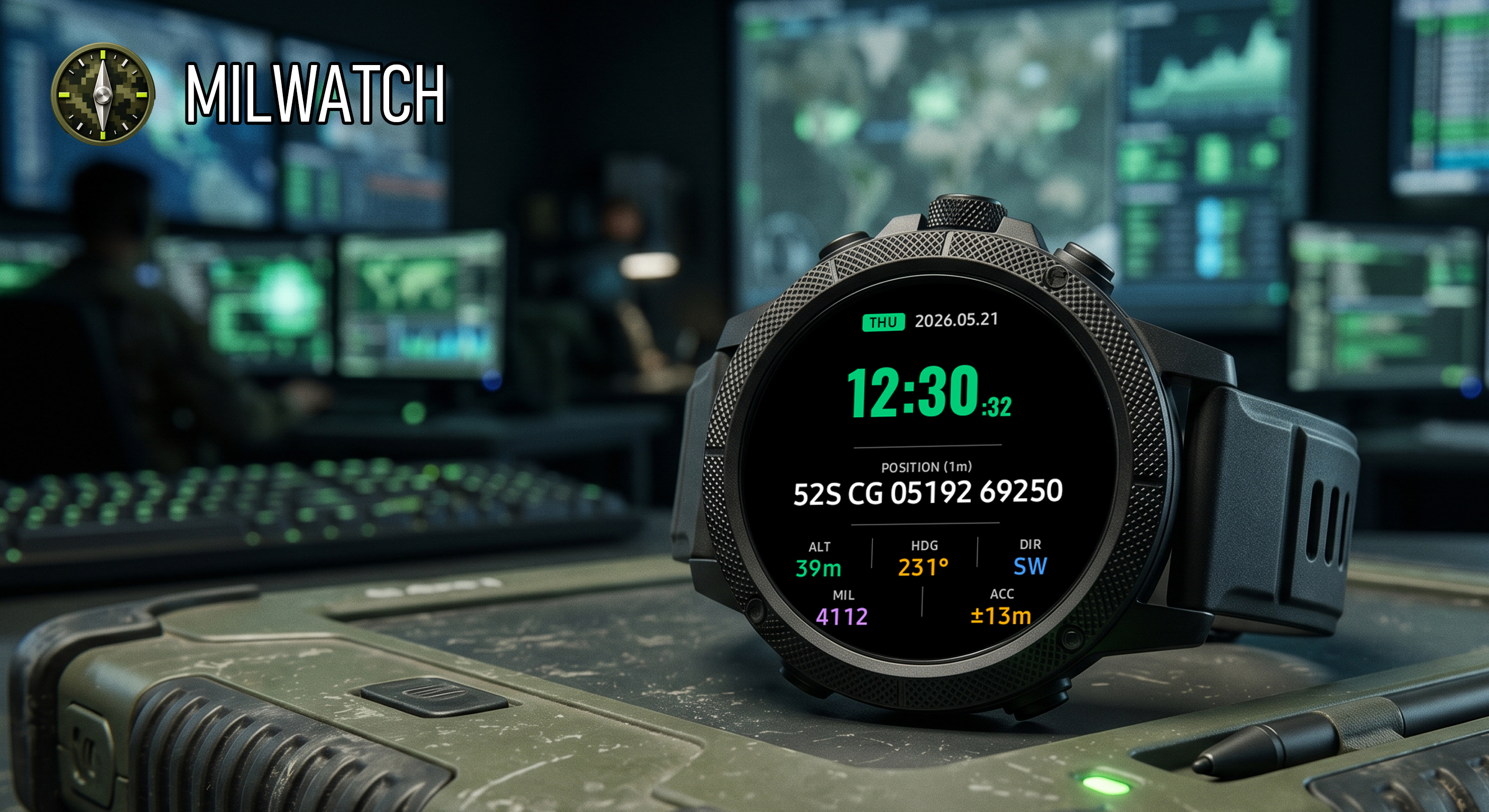
//MilWatch Pro// Field navigation that links your phone and Wear OS to show coordinates, maps, targets and weather the moment you need them.
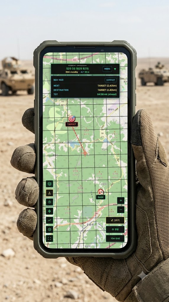
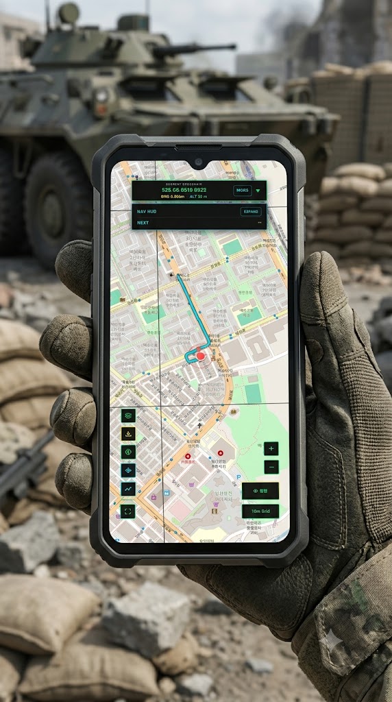
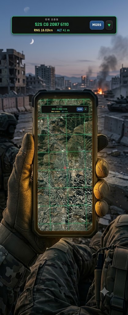
FIELD GUIDE
Scan the core capabilities, then open the detailed manual for real screens and guided steps.
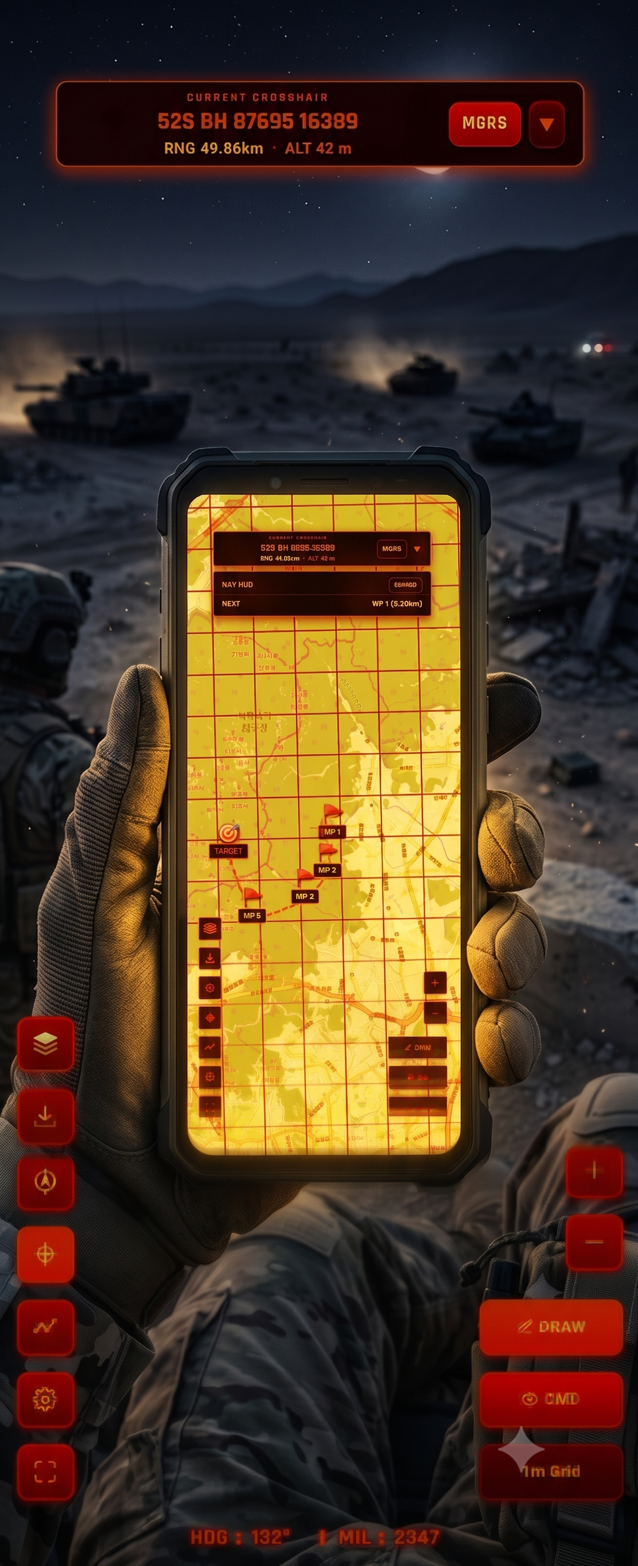
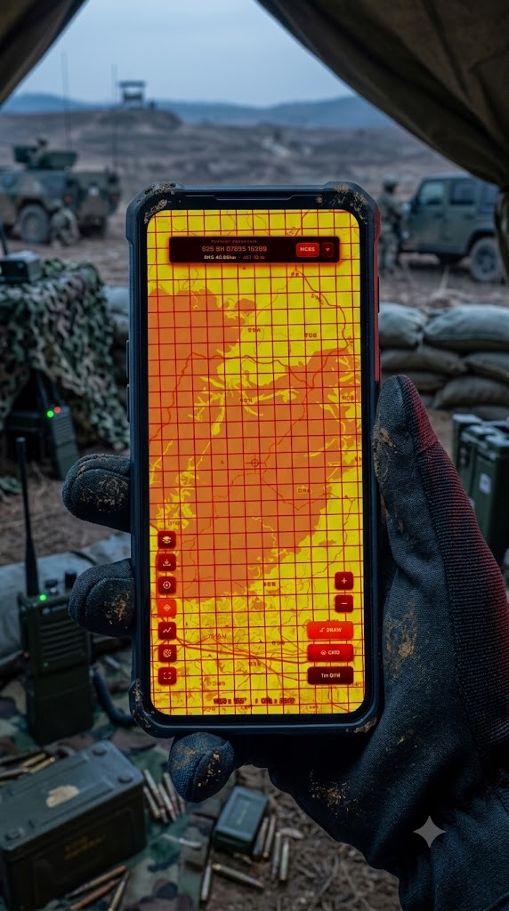
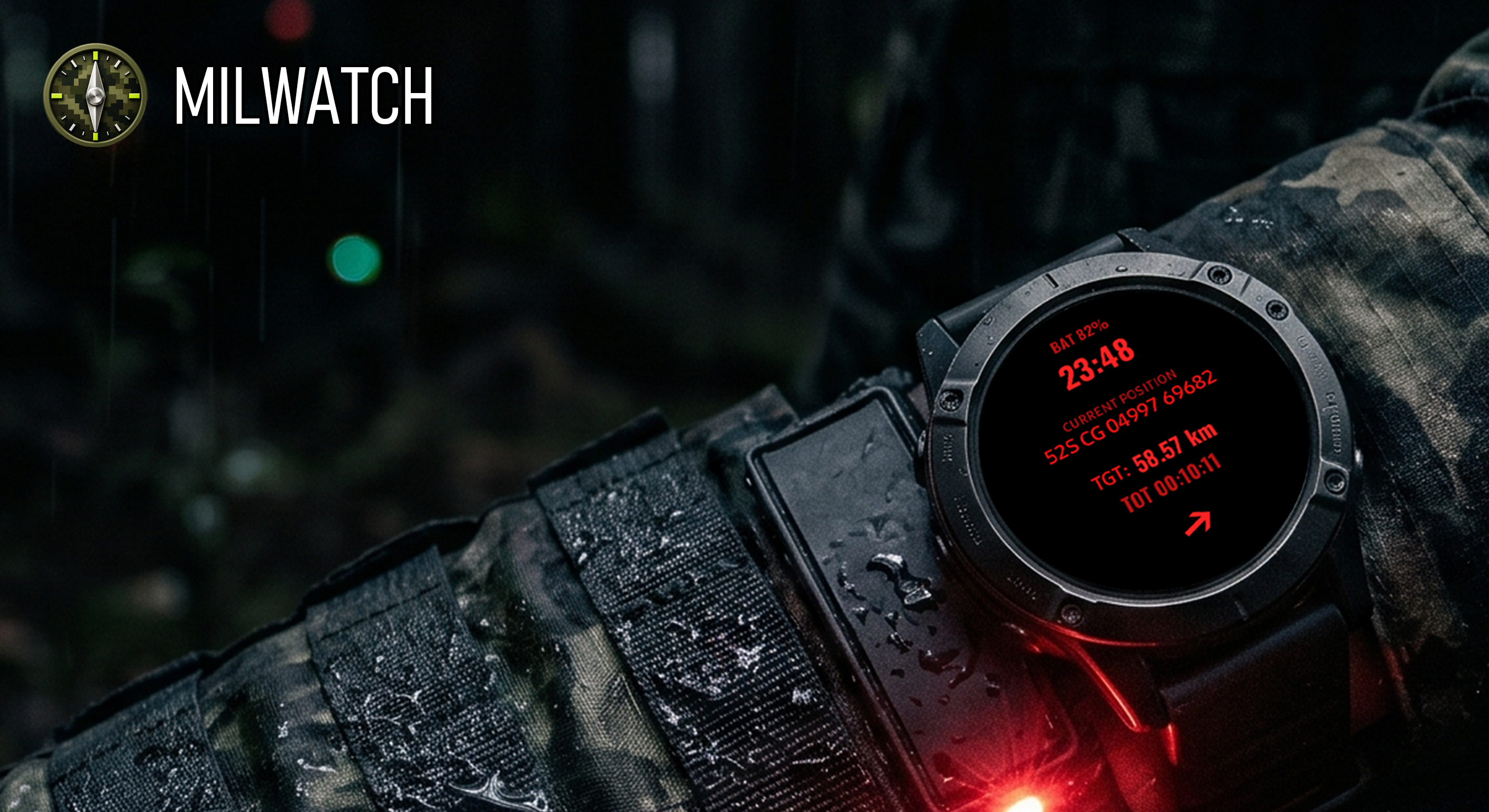
NIGHT OPERATION
In low light, the phone and watch use different interfaces to serve the same operational purpose.
PUBLIC ROADMAP
See GPS, cache, sync and battery readiness together.
Evaluate KML, GeoJSON and MilWatch packages.
Research presets for patrols, training, hiking and SAR.
Make downloaded map coverage easier to understand.
MilWatch Tactical MGRS Compass